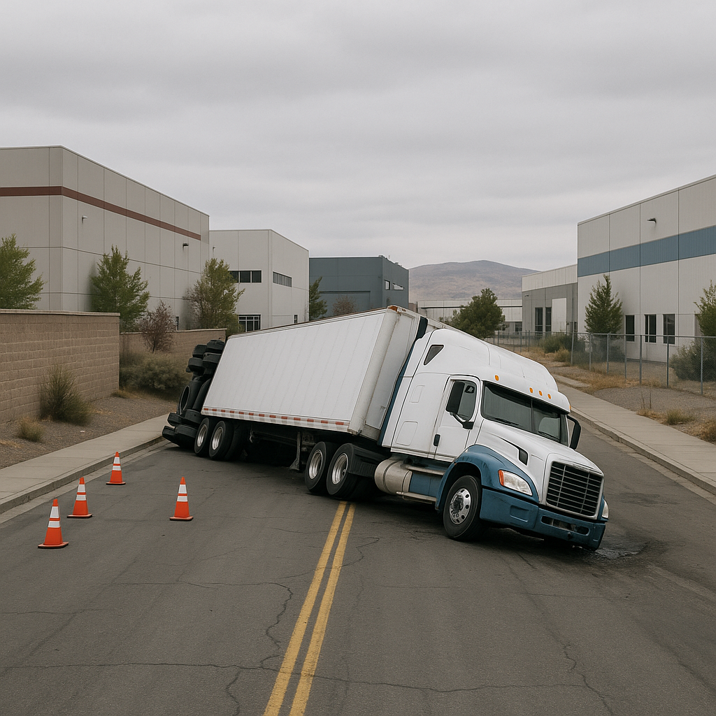
Truck Crashes Near Industrial Parks in Reno Sparks
Overview of the Nevada Location or Highway Segment
The Reno-Sparks metropolitan region serves as one of Nevada’s most vital logistics and distribution corridors, forming a critical link between the western United States and points across northern Nevada and California. Within this region, several large industrial parks, such as the Tahoe Reno Industrial Center (TRIC), Stead/Spanish Springs Business Parks, and sprawling commercial zones near Interstate 80, US 395, and Nevada State Route 659 (McCarran Boulevard), play a central role in the local economy.
The major highways that bisect the city—including I-80, US 395/I-580, and Loop 659—are frequently traveled by heavy-duty trucks transporting everything from consumer goods to raw materials. The proximity of warehouses, manufacturing plants, and fulfillment centers near these routes creates heavy, overlapping flows of both commercial and commuter traffic. As the trucking and logistics sector in the Reno-Sparks area continues to grow alongside the city’s population, so does the complexity of managing large commercial vehicles on local roadways.
Why Truck Accidents Are More Common in This Area
The increase in trucking activity around Reno Sparks industrial zones correlates with a rise in traffic incidents involving large trucks. Several factors contribute to the prominence of Reno Sparks industrial truck crashes in these corridors.
First, demand for next-day and same-day shipping across northern Nevada and northern California has led to higher truck concentrations near distribution centers clustered around the region’s industrial parks. Companies such as Amazon, Tesla, and many others maintain substantial operations compared to similarly sized cities, sending hundreds of trucks per day onto nearby road networks. The convergence of multiple trucking companies and delivery fleets operating on fixed schedules can result in significant traffic surges.
Secondly, industrial parks often position heavy commercial vehicles and local traffic into close proximity, especially during shift changes, deliveries, or periods of high demand. Commuters traveling to and from work, in combination with trucks navigating entrances and exits, can create moments of congestion and confusion. Furthermore, the presence of freight trains intersecting with local routes—such as those passing through the Sparks “Industrial District” and sections of Fernley and Stead—can exacerbate traffic issues.
Finally, the variable weather of the Truckee Meadows, from gusty high-desert winds to sudden winter storms, increases the likelihood of hazardous conditions. During weather extremes or peak operational times, the risk factors for industrial truck crashes in Reno Sparks’ busy corridors multiply.
Road Design Factors That Influence Crashes
The design of roadways adjacent to major industrial areas also shapes the region’s risk profile. On the highways and arterials serving Tahoe Reno Industrial Center and the Sparks industrial parks, lane width, visibility, turning radius, and signage often prioritize the needs of both high-speed through-traffic and heavy truck maneuvering. In some locations, entry and exit ramps may be complex or closely spaced, requiring truck drivers to make quick, difficult lane changes.
Inside the industrial zones themselves, wide intersections, multiple driveways, and shared access roads can lead to conflicts. Not every road is fully optimized for the size and turning requirements of tractor-trailers, resulting in sharply angled turns or tight merges. Congestion at railroad crossings is another recurring challenge, as truck traffic backs up while waiting for long trains to clear at grade-level intersections.
Several highway segments, particularly in the Sparks Rail Corridor and near the North Valleys industrial parks, have seen increases in truck-related crashes where road design—such as sharp curves or short merge lanes—interacts with elevated traffic volumes. Meanwhile, stretches of I-80 just east of central Reno can become chokepoints at certain times of the day, amplifying collision risk when multiple trucks converge in small spaces.
Traffic Patterns and Truck Volume Considerations
The boom in e-commerce and regional manufacturing means the volume of trucks entering and leaving Reno Sparks’ industrial parks is higher than ever before. Morning and late-afternoon peaks often correspond to warehouse shift changes, logistics deadlines, or scheduled train arrivals/departures.
The Reno Sparks area, positioned along the I-80 corridor, is a bustling node for regional and interstate trucking, with convoys transporting goods from West Coast ports to inland distribution hubs. With hundreds of tractor-trailers moving through McCarran Boulevard, Pyramid Way, Vista Boulevard, and the USA Parkway interchange every hour during high-traffic periods, local streets and area highways experience unique patterns of slow-moving, turning, and merging trucks. This sometimes results in bottlenecks and congestion, particularly at highway ingress and egress points.
Additionally, not all trucks use the same access points: some take major on-ramps directly from the interstate, while others weave through connecting city streets. Residential and commercial traffic intermingles with large trucks, increasing the number of road users affected by heavy vehicle movements. The diverse mix of driving experience and knowledge among truck operators and passenger vehicle drivers further complicates the situation.
Safety Awareness Considerations (Non-advice Tone)
Given the dynamic nature of Reno Sparks’ industrial corridors, safety has become a major focus among stakeholders in logistics, law enforcement, city planning, and the local driving public. Observing area risk factors—like frequent merging, the presence of multiple access and exit points, and ever-changing traffic densities—helps foster a shared awareness of the unique challenges faced by truck drivers and other motorists.
Many businesses located near or within industrial parks implement internal safety protocols for overseeing truck movements on-site, such as designated travel lanes, clear signage, and loading dock management. Local agencies may monitor traffic flow and deploy warning signage in areas with a history of incidents, especially at intersections with a high frequency of truck-related collisions.
Despite infrastructure efforts, unpredictable elements remain, such as changing weather conditions or sudden construction projects. Being mindful of these variabilities, understanding seasonal truck volume trends (which often spike before holidays), and recognizing moments of peak traffic congestion may all contribute to a general environment of awareness and caution for all road users.
Technological advancements, such as enhanced traffic monitoring, real-time road condition notifications, and improved intersection design, are gradually being deployed across key segments in the Reno Sparks area. These innovations may help identify persistent risk zones and support smoother interactions between commercial trucks and passenger traffic.
Neutral Closing Paragraph
As the Reno Sparks industrial landscape continues to evolve, the interplay between robust trucking activity and growing transportation infrastructure will remain a focal point for the region. The rise in Reno Sparks industrial truck crashes highlights the complexities of accommodating significant commercial transportation needs alongside community mobility. While ongoing efforts in city planning, infrastructure improvements, and stakeholder awareness are all part of the picture, the region will likely continue to balance economic growth with the practical realities of truck operations near major industrial zones. Observing how these factors change over time may provide insight into future transportation developments in northern Nevada.